
By
Xevy Zhang
As a landscape
architecture student for several years now I’ve adapted to working in a group.
But mostly I’m by myself, with only the company of a computer. So if you’ve
observed a tiny figure working with graphics software in the storied “bullpen”
(a former lab room at Matthaei Botanical Gardens, now used by interns) or the third
floor of the Reader Center at Nichols Arboretum, or sometimes in the wild with a clipboard in hand—that’s
me accomplishing my main summer storyline: mapping the Arb and Gardens.
 |
| Our hard-copy archive. |
Before we initiated the
project there was already a collection of hard copy blueprints, Google map
clips, and hand-drawn maps. But they all presented some issue that made them less
than ideal for archiving or daily use. For example, over time, many of the blueprint
maps became outdated and no longer accurate. The ink fades and the paper ages,
making the blueprints too vulnerable to be written on or used in the field. And
it takes a relatively large amount of time and money to update the blueprints
whenever changes are needed, and it’s not worthwhile to make a whole new map
when only a small part of the garden is altered. Likewise, for keeping archives
for the gardens during different years, scanning seems to be a plausible way,
but making changes for updated information makes the task difficult and
time-consuming.
With these challenges in
mind, my supervisor---Matthaei-Nichols Field services Manager Jeff Plakke---and I concluded that creating a whole new set of vector-based digital
blueprint-style maps using graphic software such as AutoCAD, and storing them
on the staff-accessible drive so that future changes can be made, is the best
way to replacing the existing paper maps. These digital maps can easily be
exported to any size PDF and used for a number of purposes. In addition, we
decided to create a set of colorized display maps.
When I started the
project in May of 2016, I was shown the large collection of existing files—both
paper and digital—that the Gardens currently holds. Most of them were created
years ago. They were beautifully archived but in such great numbers and multiple
versions that I felt a bit overwhelmed at first. Could I finish the job? I decided
that the way to go would be to learn the mapping language from the existing
files while striving to be graphically expressive, with a goal of making the
maps detailed, precise, easily readable, and—most challenging of all—tidy and
beautiful. Here’s a rough idea of what I do:
With the help of Google
Maps/Earth, a GPS or a GPS smartphone, previous maps, and GIS data, I outlined
the general frame of the gardens.
 |
| The frame and lineworks of the Matthaei Botanical Gardens display gardens. Red color represents boulders, rock walls, and buildings. |
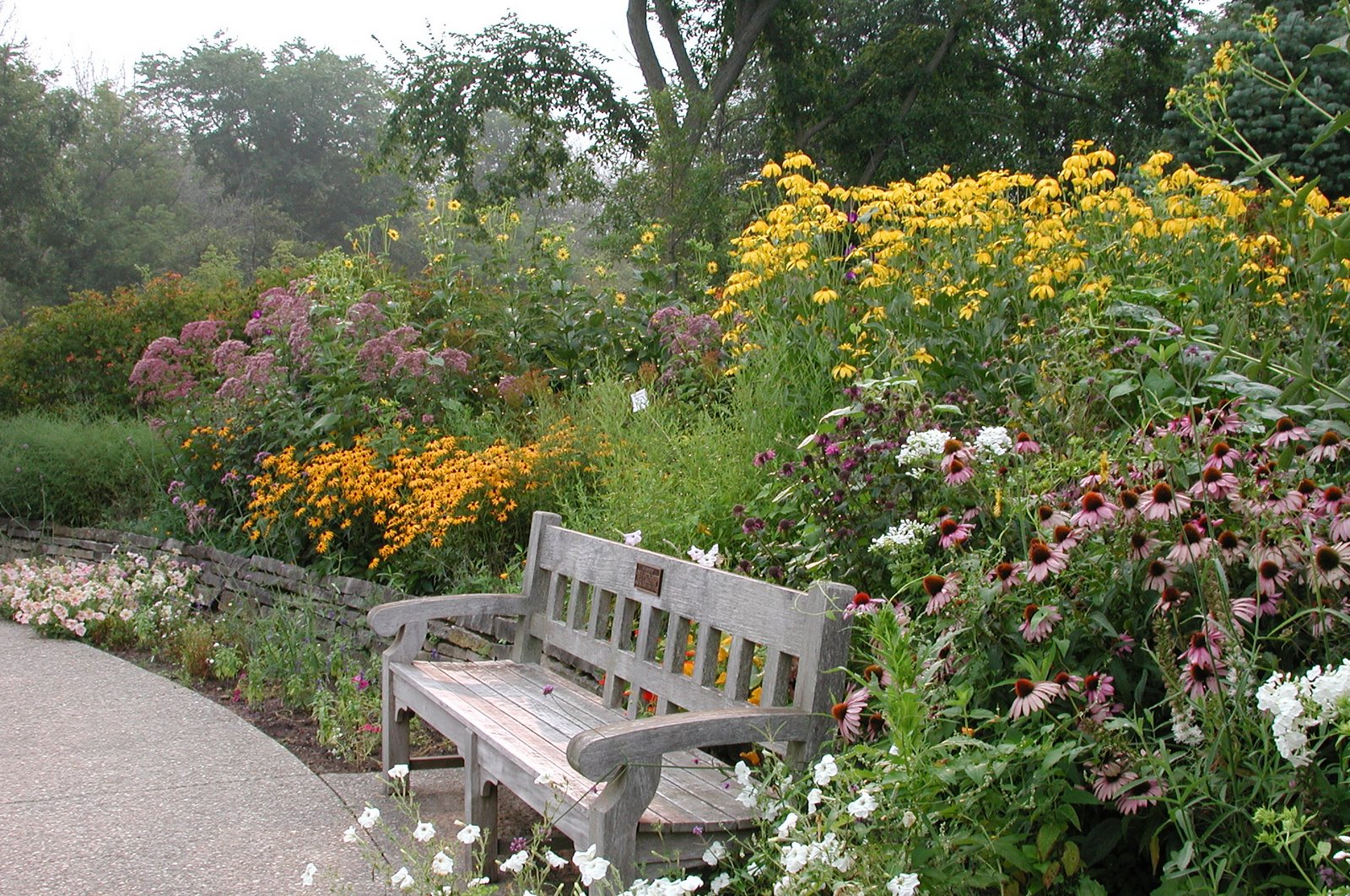
Then outside I go!—to
mark down the trees and their names, benches, rocks, and other details.

 |
| Major trees and names added, diameter of tree crowns almost to scale. |
I found a useful way to
use the Google map app in the process (see photos below). Try it yourself. Log into your Google
account; click and hold a point on the map, then click label (I’ve crossed out
the Chinese characters on the images and written the instructions in English).
After labelling those points, open the Google Map web version and. . . behold! This is how I get a general location
and info on something outdoors without having to print it out, bring the print
out, write it down, and then copy it again. A great timesaver!
 |
| Here’s how I operate on my phone. Not just for mapping, this function is also very useful for marking down places and taking notes while you’re out exploring. |
 |
| How the web-version map looks like with those points. |
Add annotations and
labels in AutoCAD, and trying to figure out a way to arrange them --- legible and adequate for readers to get a general idea of what they are but not overwhelming.
 |
| Lay out in a proper scale, add legend and titles, and export (into grayscale) as blueprints (though not blue). |
 |
| The layout view of the Gateway Garden in AutoCAD. |
Color!
 |
| Gateway Garden map, after being colorized. |
The coloring process uses
Adobe Photoshop, and while coloring one can increase or
reduce the level of detail as need according to the scale and main function of
the colored map. For example, if the map shows the whole Great Lakes Gardens and
is only 11" x 17," it would be better to leave the labels of tree names out as
they would in that case be too small to recognize.
It’s been great joy to
work in the gardens on this program and to see that some of the maps have
already helped the team! Nearly the entire Matthaei Botanical Gardens property (including
trails) will be mapped by the end of this summer, as well as some zones in Nichols
Arboretum. I hope that these maps will be helpful as orienting tools for garden
installation and maintenance. Combined with the help of programming and GPS
locationing, they could even be developed into a detailed interactive guide for
visitors!
 |
| For the field services team at Matthaei-Nichols, a printed and laminated map that can be drawn on with a dry-erase marker. |

No comments :
Post a Comment